Victoria’s Big Build
Spatial Media · Public map live
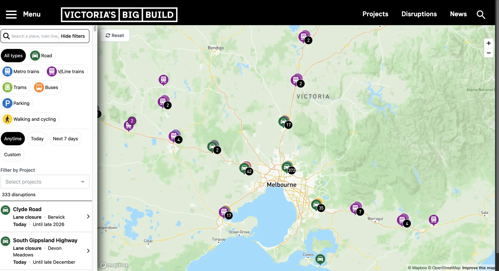
An interactive map of planned train, road and pedestrian disruptions, with detour information to help people plan travel across Victoria.
Published on Victoria’s Big Build website, it brings planned disruptions from the state’s road and rail upgrades into one view.
What I built
I built the public map, private admin portal and replacement API.
- Map search, date and transport filters, disruption details and detour routes.
- A private admin portal for editing disruptions, reviewing changes and publishing updates.
- The API and spatial database, with user permissions controlling access to the publishing tools.
The map is live on the legacy API. The replacement API and portal are complete, with switchover pending.
Clusters that show what’s inside
Nearby disruptions are grouped into a single symbol. I generate that symbol from up to three of the group’s most common categories, placing the most frequent at the front. Each combination is cached in the browser so it does not need to be drawn again as the map moves.

Generated a new symbol
1 configurations cachedChange the mix. The most common category comes to the front. Return to an earlier order to reuse its symbol. Concept demo with sample categories.
Tech stack
Vue · Nuxt · JavaScript · TypeScript · Supabase · PostgreSQL / PostGIS · Mapbox